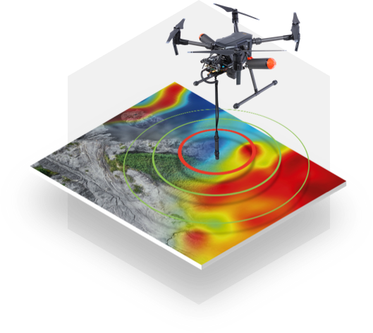
Environmental and engineering geophysics focuses on monitoring surface and near-surface processes down to a maximum depth of 50 meters. These processes are relevant to both environmental studies and engineering applications related to the surrounding environment.
This subfield of geophysics has gained significant importance in recent years. The Laboratory’s focus on this area reflects the growing demand for monitoring critical infrastructure, subsurface exploitation, and the impact of human activities, climate change, and natural disasters on the environment and shallow subsurface. To address these needs, we aim to develop and implement new concepts and efficient methodologies. Environmental geophysics studies are designed to understand natural or human-induced processes occurring at or near the Earth’s surface.
Applications
- Identification and monitoring of landslides and related structures
- Hydrogeological exploration and monitoring of surface and underground sites
- Monitoring the impact of wind farms on the subsurface
- Monitoring the condition and degradation of railway embankments over time
- Detection and imaging of archaeological sites
- Detection of buried utilities, installations, and objects
- Monitoring the effects of structures on the subsurface (soil-structure interaction)
- Detection of unexploded ordnance (UXO)
- Detection of shallow aquifers
- Detection of subsurface voids
- Studying and monitoring pollutant and saline water intrusions
- Agricultural studies
- Bio-geophysical studies (e.g., tree and plant roots)
- Monitoring the condition and degradation of infrastructure elements (e.g., roads, foundations)
- Identification of utilities
Methods Used
- Active and passive seismic techniques
- Shallow seismic tomography
- HVSR (Horizontal-to-Vertical Spectral Ratio) based on seismic noise data
- Ground-based radar interferometry
- Electrical tomography
- Seismic refraction
- Ground Penetrating Radar (GPR)
- Vertical Electrical Sounding (VES)
- Geoelectric profiling
- Magnetometry
- Photogrammetry
- LiDAR
This multidisciplinary approach enables a deeper understanding of the shallow subsurface, supporting effective environmental management and engineering solutions.
