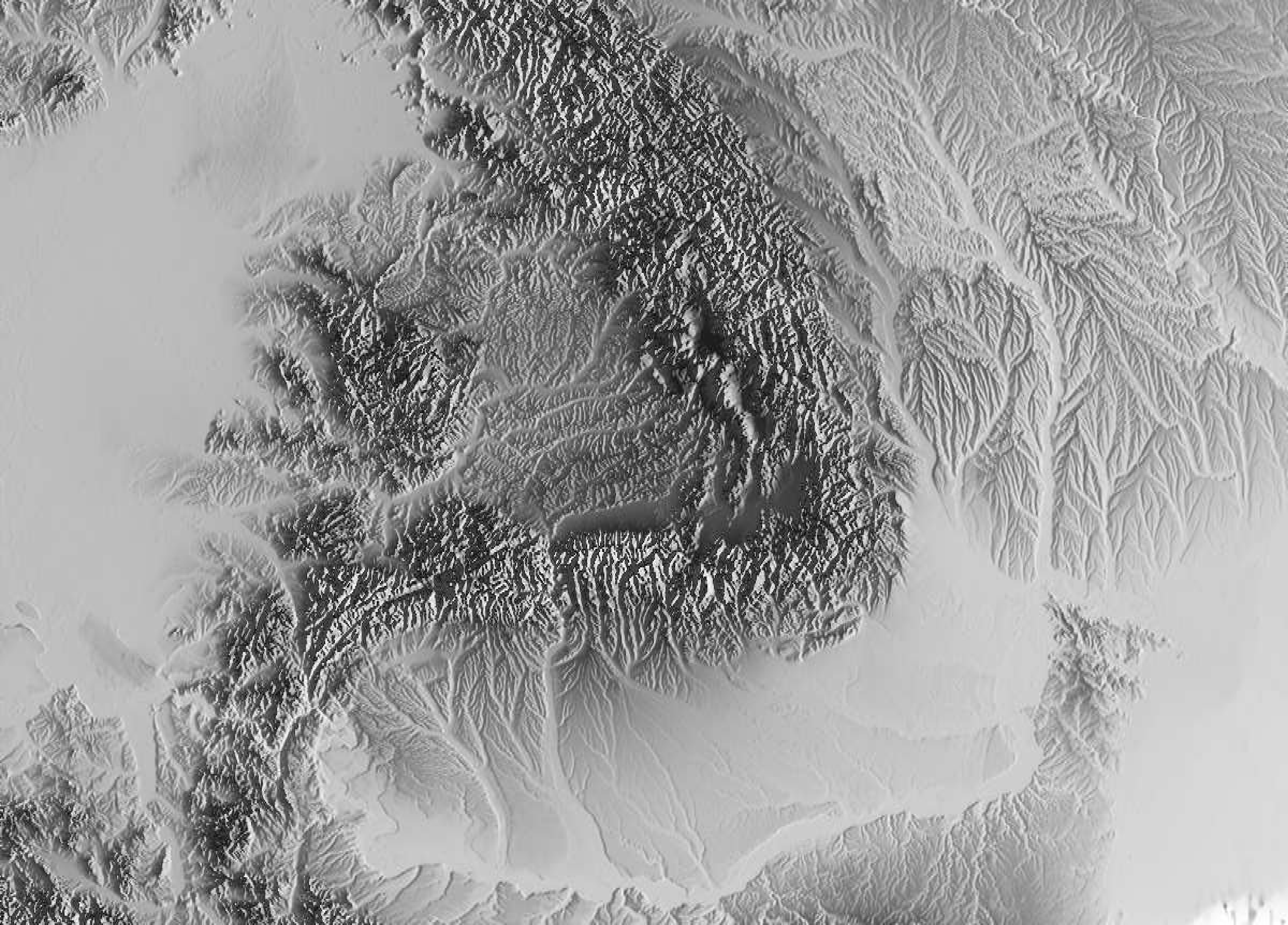
Exploration geophysics employs seismic, electrical, electromagnetic, and gravimetric methods, along with complementary approaches, utilizing the infrastructure of the National Mobile Laboratory for Geophysical Instruments.
The primary goal is to explore the subsurface down to depths of up to 5 kilometers to determine structures and estimate physical properties in areas of interest. Geophysical methods help identify anomalies caused by the presence of significant structures or artifacts.
Applications
- Determination, modeling, and monitoring of geological structures
- Monitoring natural and anthropogenic microseismicity
- Detection of faults and fractures
- Detection and characterization of deep aquifers
- Characterization of structures of interest for mineral or geothermal resources
- Detection of subsurface voids
- Monitoring the subsurface using integrated geophysical data
Methods Used
- Controlled-source seismic methods (e.g., seismic refraction)
- Passive seismic methods (e.g., seismic noise data)
- Seismic tomography (e.g., noise data and local earthquakes)
- Gravimetry
- Magnetometry
- Electromagnetic methods
- Vertical Electrical Soundings (VES) and FullWaver
This systematic approach enables the identification and detailed characterization of subsurface features, supporting applications in resource exploration, geohazard assessment, and infrastructure planning.
