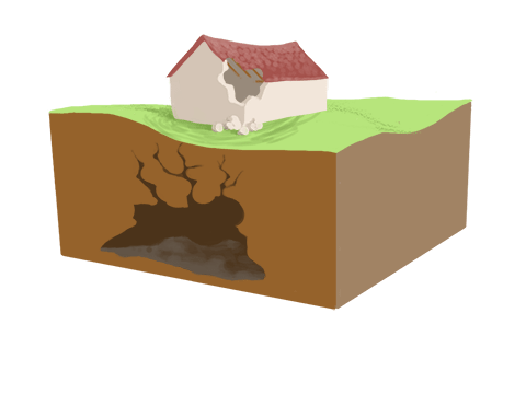
The laboratory focuses on improving the ability to estimate the effects of subsurface interactions, aiming to prevent or mitigate undesirable impacts.
A paradigm shift is proposed in integrating geodetic data with geophysical data and models. The laboratory will leverage the infrastructure of the National Mobile Laboratory for Geophysical Instruments and the Integrated Observing System of the National Seismic Network (IOSIN RSN). The goal is to establish an integrated, continuously iterative optimization procedure combining geodetic data processing with geophysical modeling.
Applications
- Monitoring soil deformations caused by natural phenomena such as:
- Uplift due to salt diapirs
- Compression, oxidation, or contraction of organic soils
- Isostatic adjustments
- Monitoring soil deformations resulting from anthropogenic processes such as:
- Natural resource extraction
- CO₂ injection in geothermal wells
- Groundwater extraction
- Urban infrastructure development
Methods Used
- GPS Stations
- Seismic Stations
- Terrestrial Interferometers
- Satellite Interferometry
This integrated approach allows for detailed monitoring and modeling of subsurface dynamics, supporting proactive management and mitigation strategies in both natural and human-affected environments.
