
GeoEduLab aims to increase public awareness about earthquakes and other geological hazards, including their effects, and to promote Earth Sciences and research results that contribute to minimizing hazard risks. We…
The laboratory focuses on improving the ability to estimate the effects of subsurface interactions, aiming to prevent or mitigate undesirable impacts. A paradigm shift is proposed in integrating geodetic data…
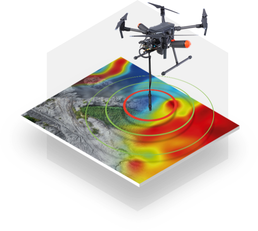
Exploration geophysics employs seismic, electrical, electromagnetic, and gravimetric methods, along with complementary approaches, utilizing the infrastructure of the National Mobile Laboratory for Geophysical Instruments. The primary goal is to explore…
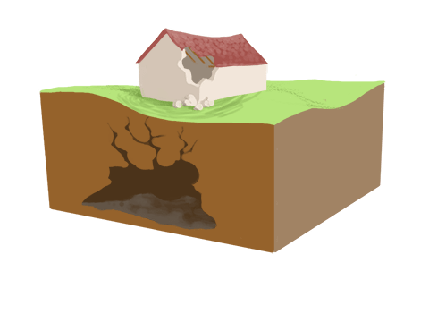
Environmental and engineering geophysics focuses on monitoring surface and near-surface processes down to a maximum depth of 50 meters. These processes are relevant to both environmental studies and engineering applications…